Portfolio
Rakib Hasan
I work at the intersection of data, geography, and research — trying to make sense of real-world problems and help people make better decisions with that knowledge.

Academic & Research
Exploring my research, education, GIS work, and academic projects.
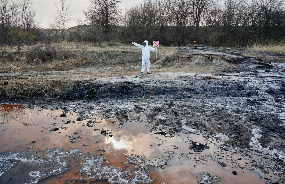
Real World Projects
Explore my real world projects.
Top Research
A selection of my best academic and field studies.
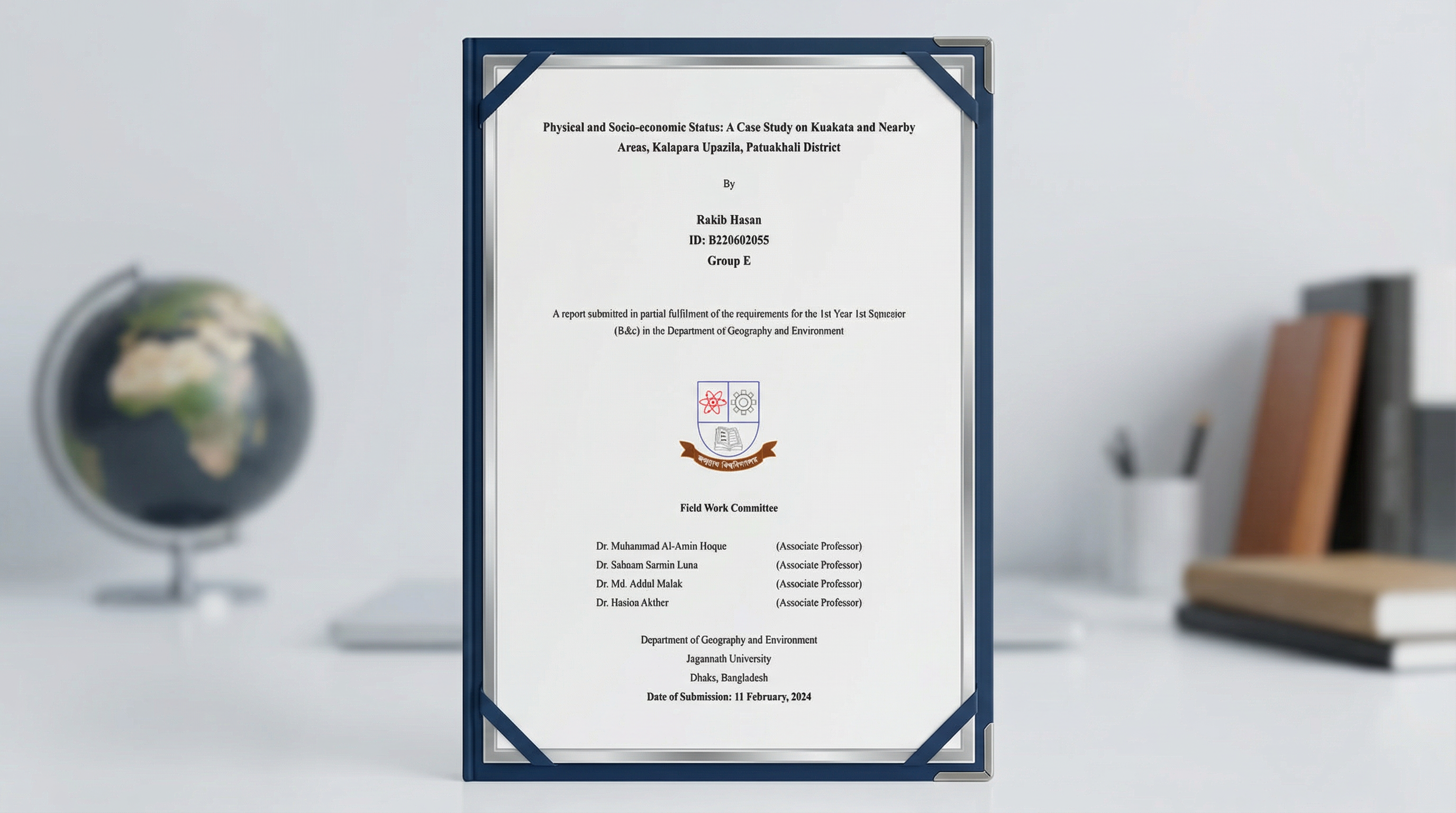
Physical and Socio-economic Status: A Case Study on Kuakata and Nearby Areas, Kalapara Upazila, Patuakhali District
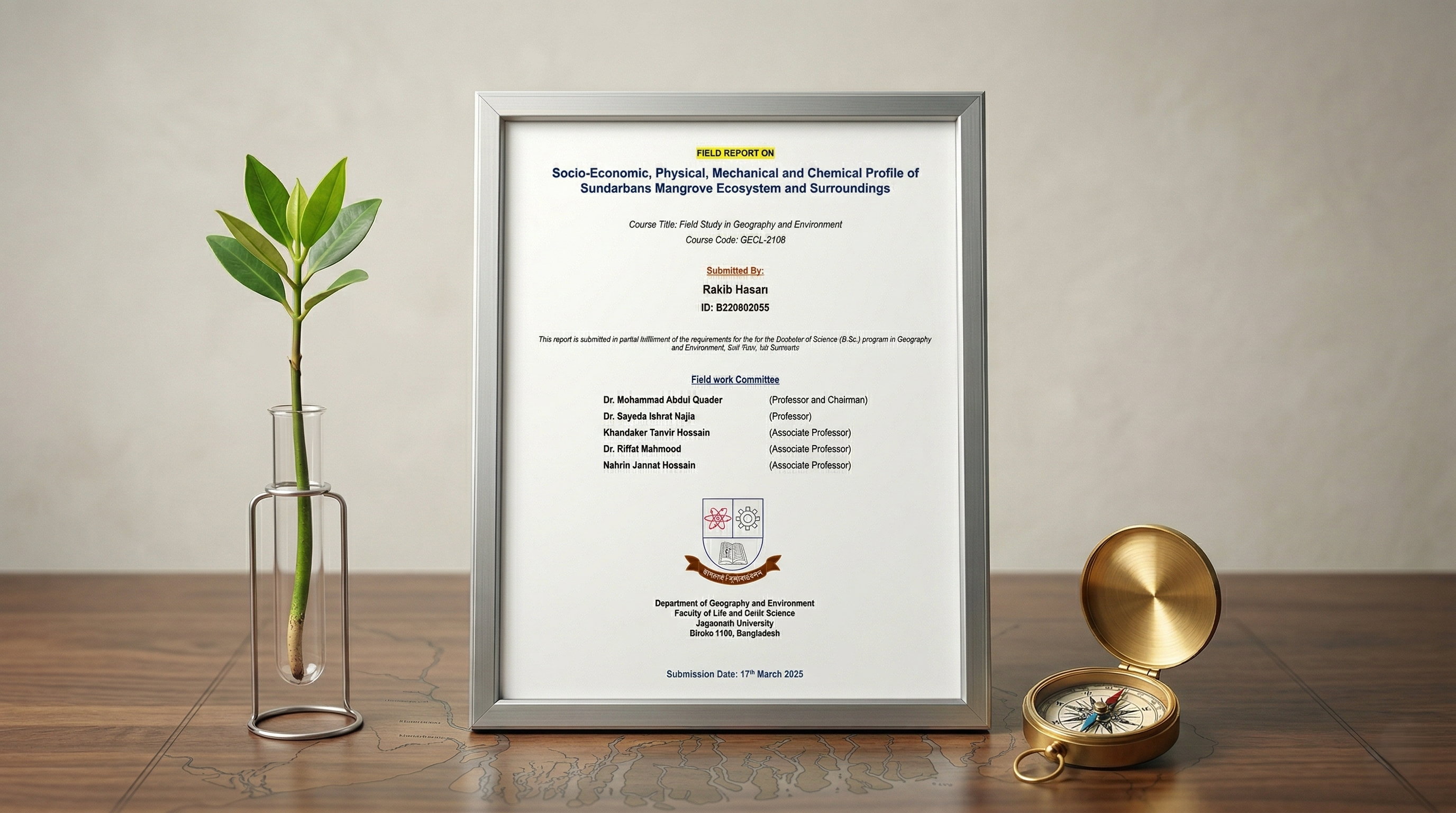
Socio-Economic, Physical, Mechanical and Chemical Profile of Sundarbans Mangrove Ecosystem and Surroundings
Want to see more?
Explore MoreRecent Work Highlights
A few things I've built — dashboards, maps, and animations from actual projects I've worked on.

Skills & Tools
Core Competencies
Programming
Geospatial
Data Tools
Visualization
Certifications
Recognized by leading institutions and organizations.
Research Interests
Exploring the intersection of spatial data, natural environments, and predictive modeling.
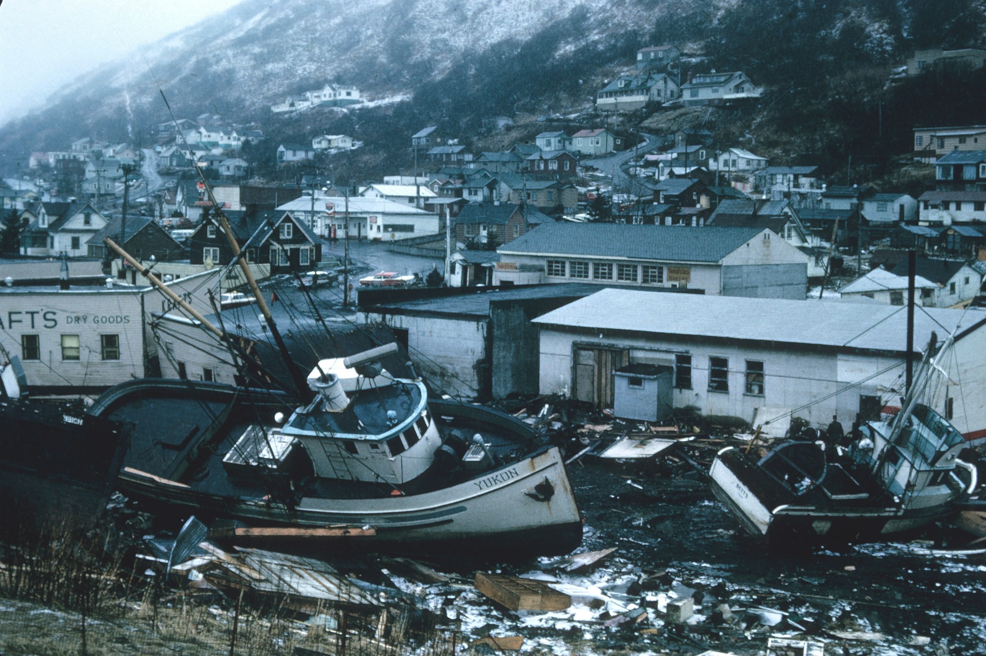
Disaster Management & Risk Reduction
.jpg)
Environmental Monitoring & Assessment
Natural Hazard Risk Analysis

Machine Learning
GIS & Geospatial Analysis
Extracurricular Activities
Ways to Collaborate

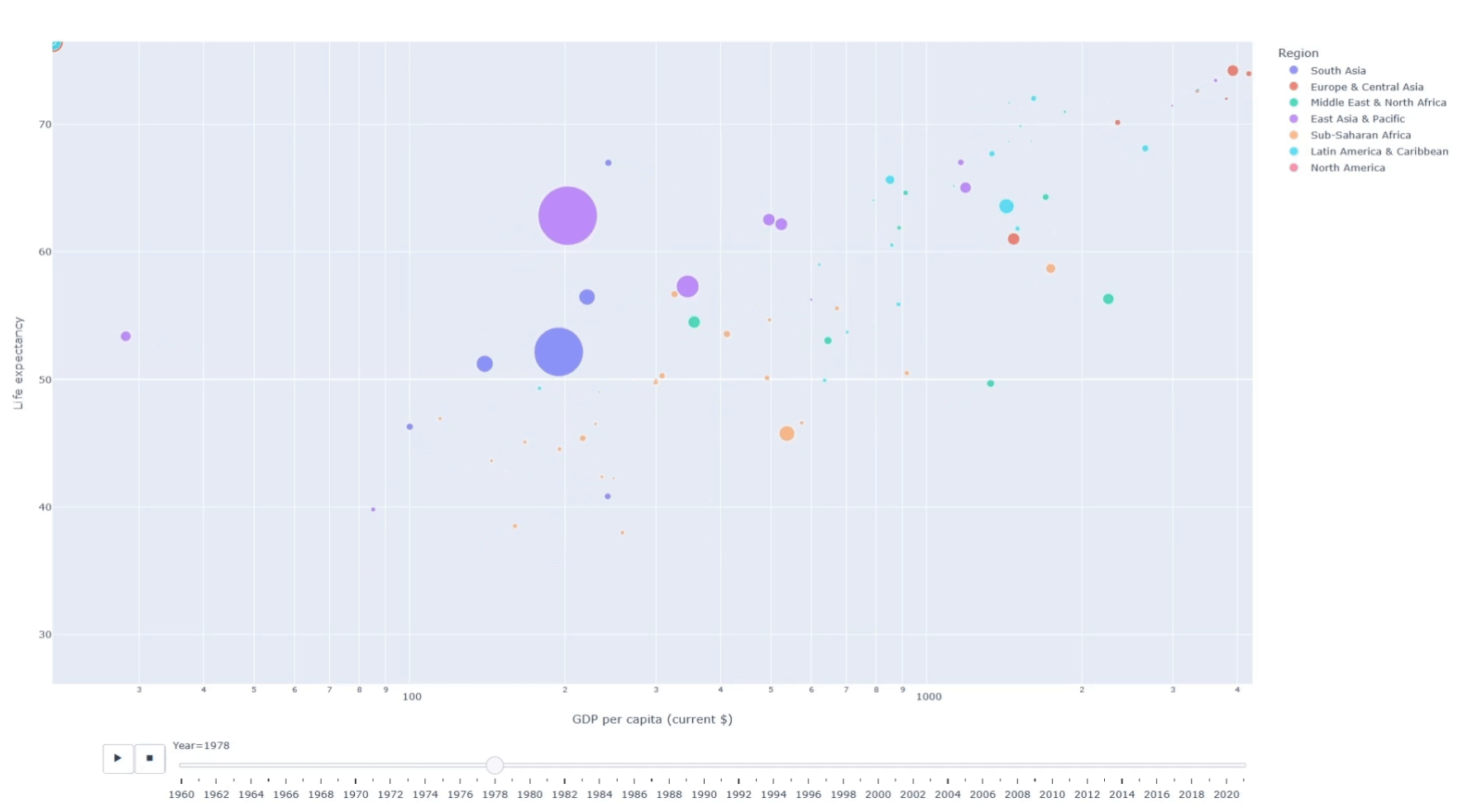
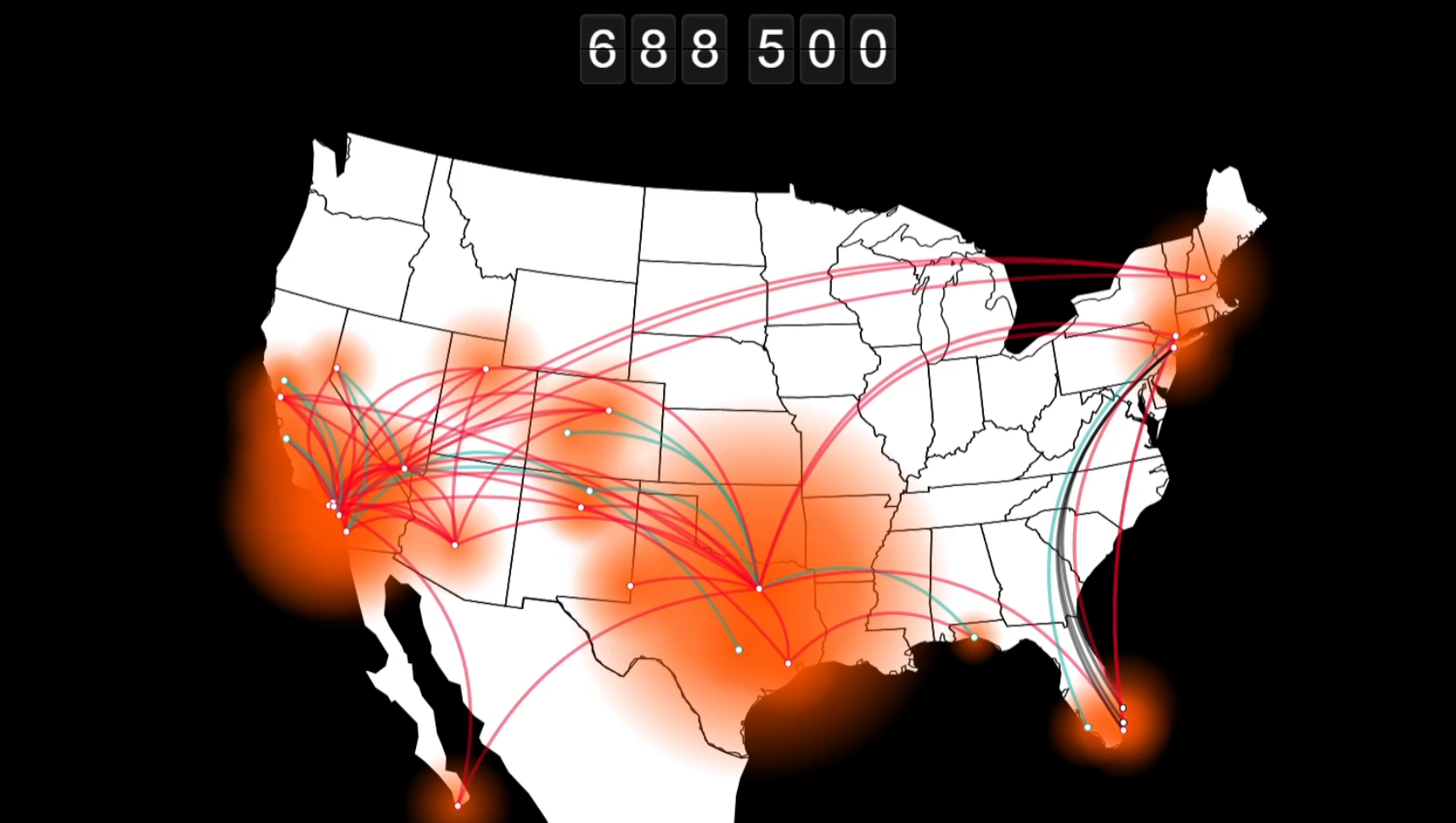
Data Anim.
Bring datasets to life with motion-based storytelling.
View Projects
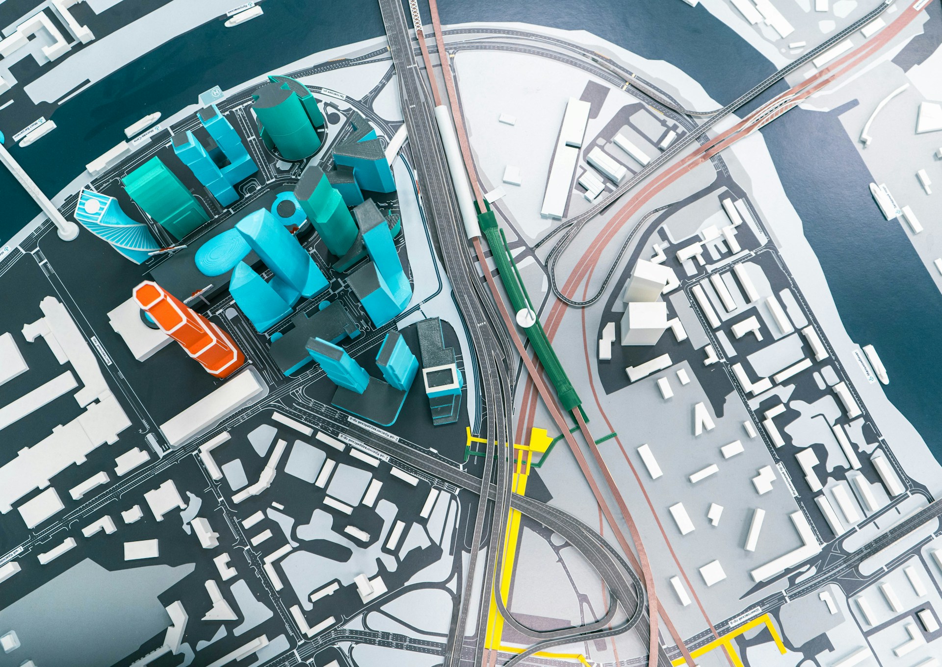
Map Anim.
Dynamic, animated maps revealing spatial patterns.
View Projects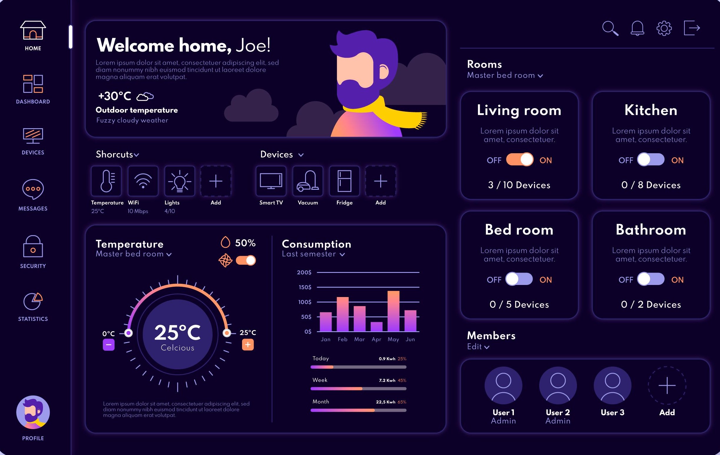
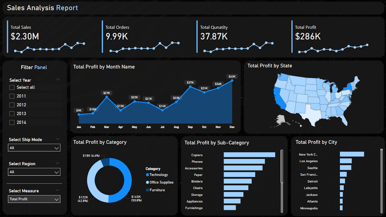
Dashboards
Real-time, filterable dashboards for performance.
View Projects
Biz Viz
Clear, impactful charts turning data into clarity.
View Projects
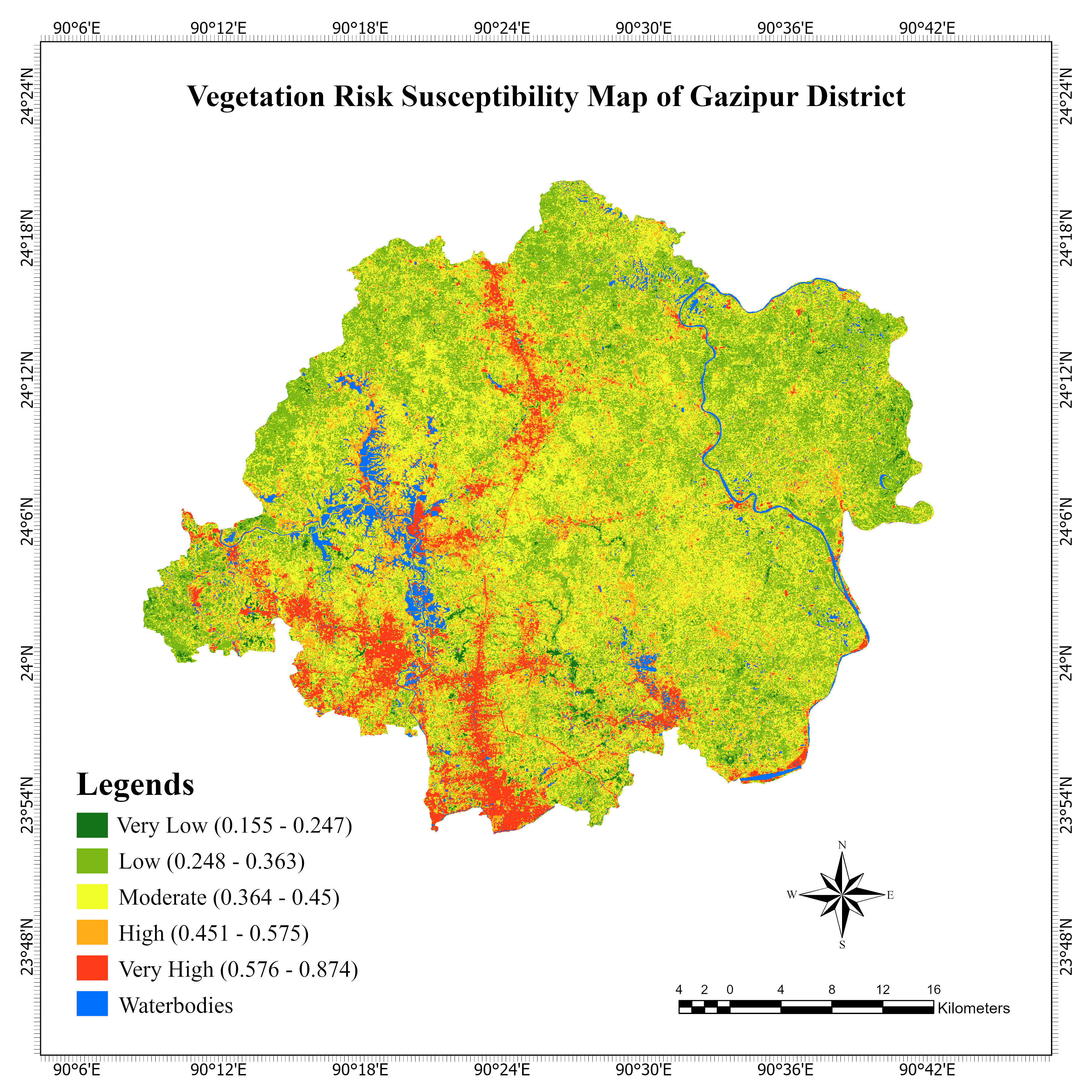
Research Viz
Publication-ready figures and statistical plots.
View Projects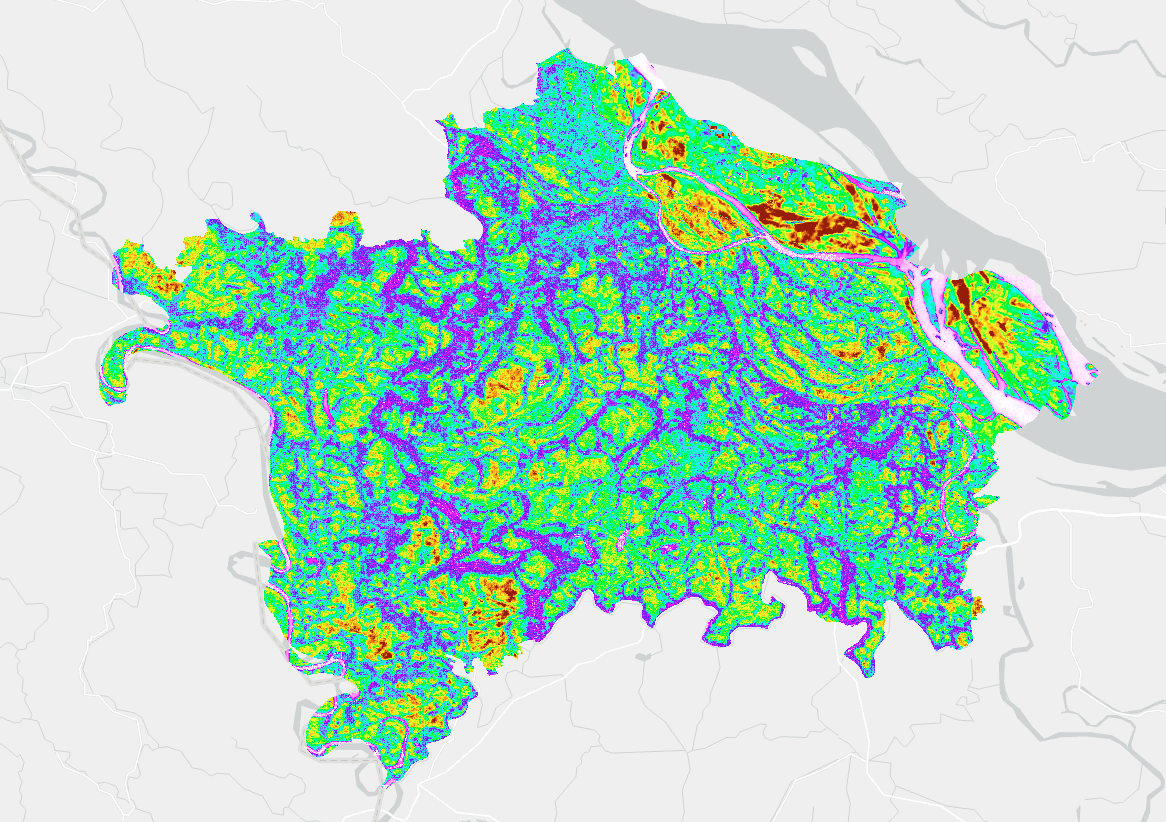
GIS & RS
Spatial analysis and imagery processing solutions.
View ProjectsWork With Me on Fiverr
Streamlined services & quick turnarounds for data visualization, mapping, and dashboards.
Ready to collaborate?
Got a dataset you don't know what to do with? Whether it's a map, a dashboard, or something in between — let's figure it out together.